search
South Brazil map
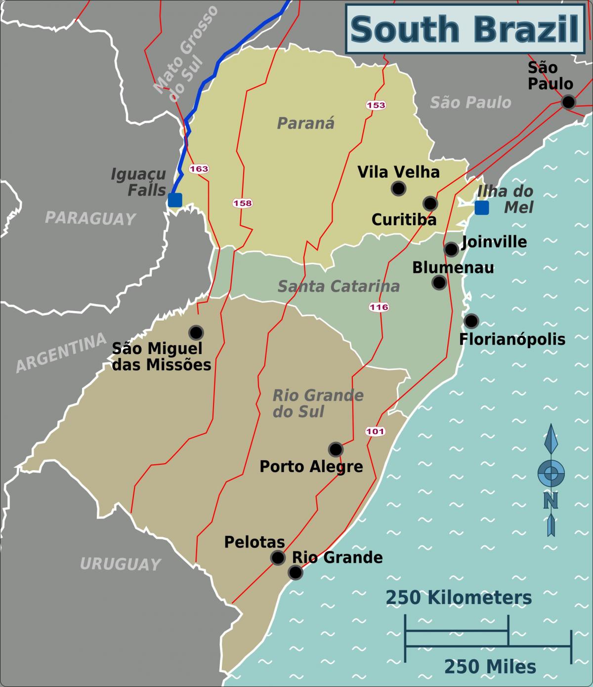
Map of south Brazil. South Brazil map (South America - Americas) to print. South Brazil map (South America - Americas) to download. The three states in the temperate South: Paraná, Rio Grande do Sul, and Santa Catarina—cover 577,214 square kilometres (222,864 sq mi), or 6.8% of the national territory as its shown in south Brazil map. The population of the South Brazil in 1991 was 23.1 million, or 14% of the country's total. The region is almost as densely settled as the Southeast, but the population is more concentrated along the coast. The major cities are Curitiba and Porto Alegre. The inhabitants of the South enjoy relatively high living standards. Because of its industry and agriculture, Paraná had the highest average income in 1994, US$3,674, while Santa Catarina, a land of small farmers and small industries, had slightly less, US$3,405.
South Brazil region is highly urbanized (82%) and many cities are famous for their urban planning, like Curitiba and Maringá. It has a relatively high standard of living, with the highest Human Development Index of Brazil, 0.859 (2007), and the second highest per capita income of the country, $13.396, behind only the Southeast Region. The region also has a 94% literacy rate as its mentioned in south Brazil map.


