
search
Brazil location on world map
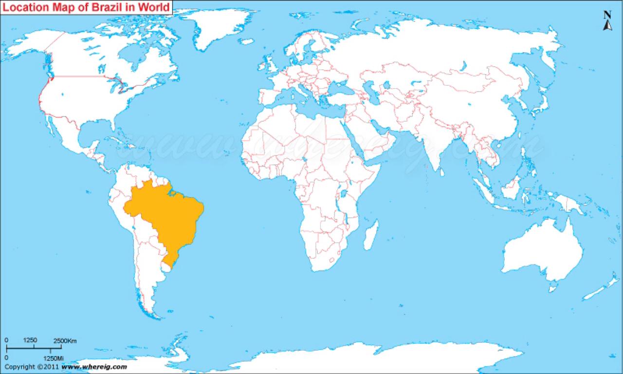
Location of Brazil on world map. Brazil location on world map (South America - Americas) to print. Brazil location on world map (South America - Americas) to download. Brazil is the largest country in South America and the fifth largest nation in the world. It forms an enormous triangle on the eastern side of the continent with a 4,500-mile (7,400-kilometer) coastline along the Atlantic Ocean as its shown in Brazil location on world map. It has borders with every South American country except Chile and Ecuador. It is the only Portuguese-speaking country in the Americas and the largest lusophone country in the world.
The Brazilian economy is the world sixth largest by nominal GDP and the seventh largest by purchasing power parity (as of 2011) as its mentioned Brazil location on world map. Brazil is one of the world fastest growing major economies. Economic reforms have given the country new international recognition. Brazil is South America most influential country, a rising economic power and one of the world biggest democracies.
Located in the eastern part of South America in the Western Hemisphere, the colorful Brazil is bordered by nine countries and one French Overseas territory namely French Guiana, Venezuela, Guiana and Suriname in the North, Colombia in the Northwest, Paraguay and Argentina in the Southwest, Uruguay in the South and Peru and Bolivia in the West as you can see in Brazil location on world map. Chile and Ecuador are the only two South American countries not sharing any boundary with Brazil. Brazil has coastal boundary with Atlantic Ocean in its east. The Geographic Coordinates of Brazil is 15.7833° S, 47.8667° W. Sao Paulo is its largest city and Brasilia is the capital city of the country.