search
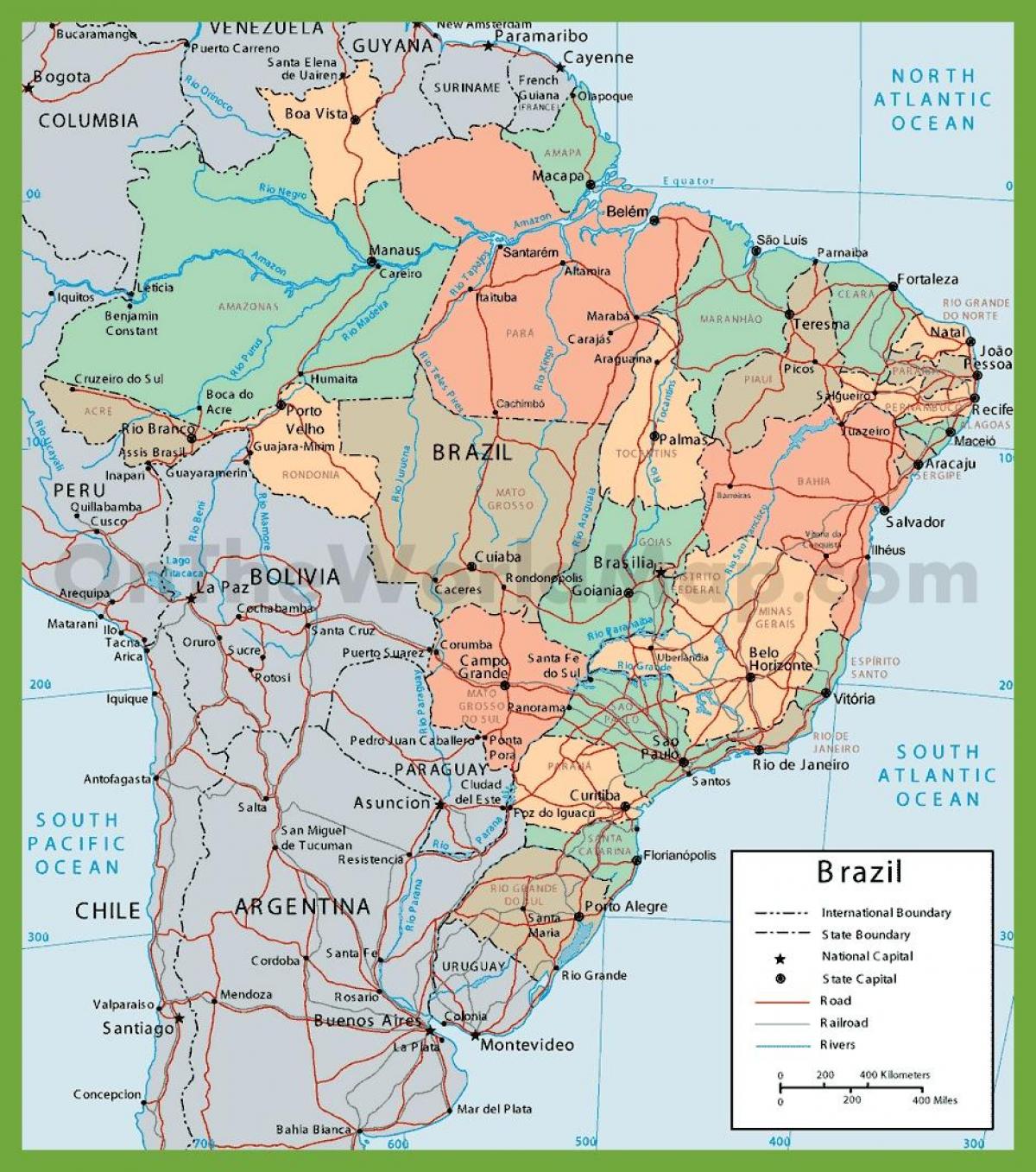
Political map of Brazil
Political map Brazil. Political map of Brazil (South America - Americas) to print. Political map of Brazil (South America - Americas) to download. The politics of Brazil take place in a framework of a federal presidential representative democratic republic, whereby the President is both head of state and head of government, and of a multi-party system as its shown in the political map of Brazil. The political and administrative organization of Brazil comprises the federal government, the states, the federal district and the municipalities. As of November 2010, 13.8 million Brazilians were affiliated to a political party.
Brazil has a multi-party system with numerous political parties sharing the vote, in which no single party has a chance of gaining power alone, so that they must work with each other to form coalition governments as its mentioned in the political map of Brazil. The ideologies of the different parties are not always universally adhered to, as many of them are in fact loose coalitions of local and individual leaderships. Since 1982 Brazilian political parties are given a number to make easier for illiterate people to vote. Often political parties change their names but retain their number.
Currently, Brazil is divided politically and administratively into 27 federative units, being 26 states and one federal district as you can see in the political map of Brazil. The executive power is exercised by a governor elected to a four year term. The judiciary is exercised by courts of first and second instance addressing the common justice. Each State has a unicameral legislature with deputies who vote state laws.


