search
Northern Brazil map
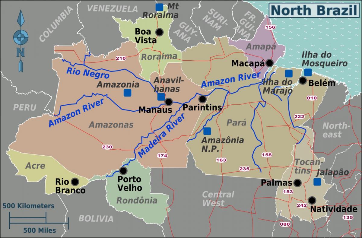
Map of northern Brazil. Northern Brazil map (South America - Americas) to print. Northern Brazil map (South America - Americas) to download. The Northern Region of Brazil is the largest Region of Brazil, corresponding to 45.27% of the national territory as its shown in northern Brazil map. It is the least inhabited of the country, and contributes with a minor percentage in the national GDP and population. It is composed by the states of Acre, Amapá, Amazonas, Pará, Rondônia, Roraima and Tocantins.
Northern Brazil demographic density is the lowest in Brazil considering all the regions of the country, with only 0.292 inhabitants per km2. Most of the population is centered in urban areas. Belém International Airport and Manaus International Airport connects North region with many Brazilian cities and also operates some international flights. The North is home to the Federal University of Amazonas and Federal University of Pará as its mentioned in northern Brazil map.


