search
Brazil temperature map
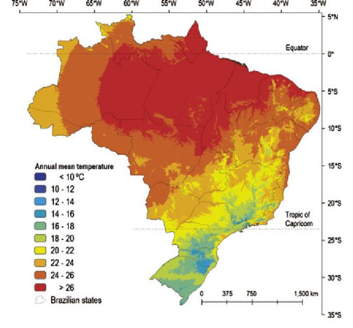
Map of Brazil temperature. Brazil temperature map (South America - Americas) to print. Brazil temperature map (South America - Americas) to download. The temperature in Brazil varies within a year with monthly averages in winter between 13 and 18 degrees Celsius (55 and 64 degrees Fahrenheit) as its shown in Brazil temperature map. During summer temperatures can reach 30 to 40 degrees Celsius (86 to 104 degrees Fahrenheit) in Rio de Janeiro and in regions in the south, this accompanied by frequent showers creates a rather heavy humidity.
The northeastern region of Brazil, encompassing cities such as Belem, Salvador, and Recife, sports a warm tropical climate stirred by fresh sea breezes. Temperatures remain in the 80 year round, with rains heavier during certain parts of the year (January to May along the northern coast, May to July further east) as its mentioned in Brazil temperature map. Meanwhile, further south, the beaches of Rio de Janeiro are host to hot and humid summers and mild winters. Temperatures can climb well into the 90 from December to March, to the delight of Cariocas, who revel in the sizzling summer days.


