
search
Brazil map black and white
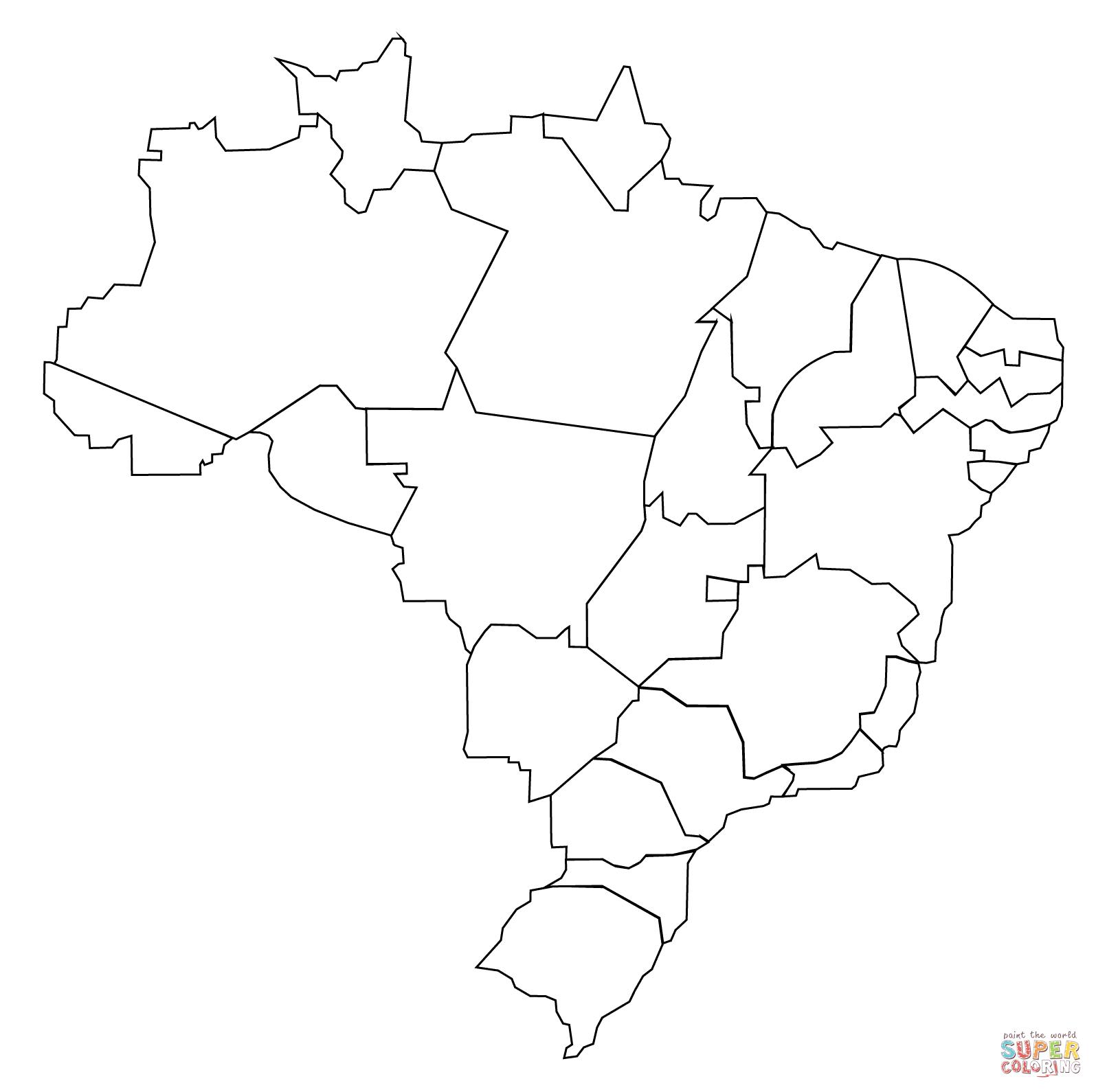
Black and white map of Brazil. Brazil map black and white (South America - Americas) to print. Brazil map black and white (South America - Americas) to download. There are 26 states (estados) and one federal district (distrito federal) as its shown in Brazil map black and white. The states are generally based on historical, conventional borders which have developed over time. The states are divided into municipalities, while the Federal District assumes the competences of both a state and a municipality.
Brazil has been an independent country for the whole 20th century. Its primary subdivisions have been estados (states), territórios (territories), and a distrito federal (federal district) as its mentioned in Brazil map black and white. The generic name for all types of primary subdivision is unidades da federação (units of the federation).