
search
Brazil transports map
Map of Brazil transports. Brazil transports map (South America - Americas) to print. Brazil transports map (South America - Americas) to download. In Brazil there are many options to travel locally from point A to B. The large metropolitan areas of Rio de Janeiro and Sao Paulo have modern metro networks, but in most of the cities buses and minivans are the most common way of public transport as its shown in Brazil transports map. Brazilian cities have long been leaders in the field of urban transit. As one of the world’s most urbanized regions, Brazil has developed innovative solutions to issues of public transportation, sustainable growth, and urban form.
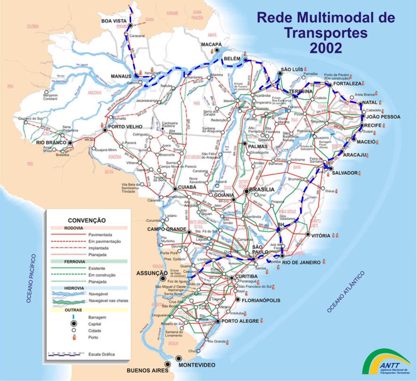
In Brazil rural areas the only option of local transport is often a motor taxi (‘moto-taxi’): at the back of a moped. In Brazil, the bus network between all the major cities and beyond is extensive as its mentioned in Brazil transports map. Unlike domestic flights, buses usually leave strictly on time. Long-distance buses are often spick-and-span and comfortable. The best services and vehicles will be found in Southern Brazil. Unfortunately, the chances of enjoying travel by train are very slim in Brazil. It has never been a country with a dense train network and furthermore, many old railways have been dismantled to make way for roads.