
search
Brazil road map
Road map of Brazil. Brazil road map (South America - Americas) to print. Brazil road map (South America - Americas) to download. Brazil roads are the primary carriers of freight and passenger traffic. Brazil road system totaled 1.98 million km (1.23 million mi) in 2002 as its shown in Brazil road map. The total of paved roads increased from 35,496 km (22,056 mi) in 1967 to 184,140 km (114,425 mi) in 2002. Motor vehicles registered as of 2000 included 14,82,001 passenger cars, and 3,300,000 commercial vehicles. Although the bulk of highway traffic is concentrated in the southern and central regions, important roads have been constructed to link the northeastern and northern areas with the industrialized south.
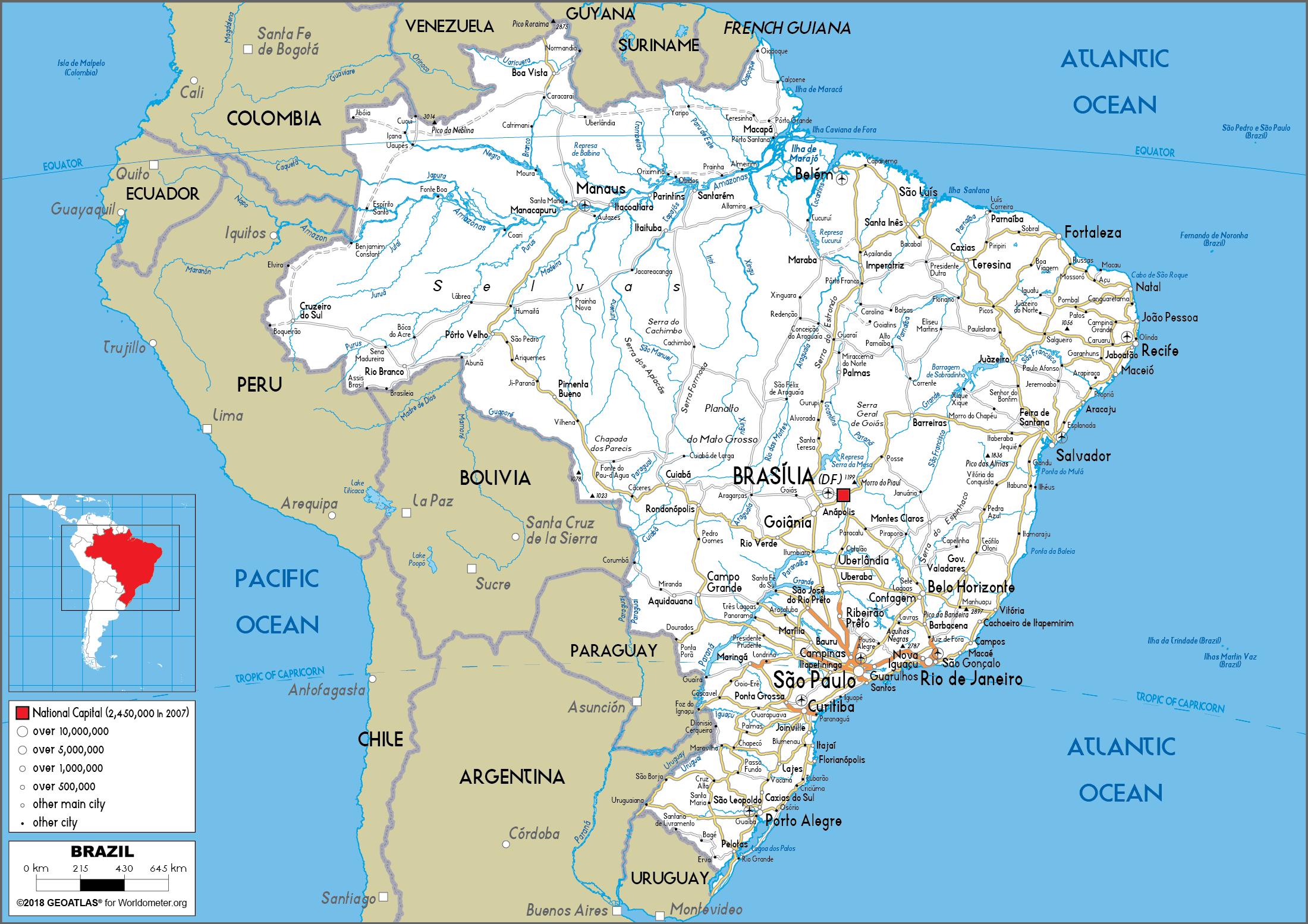
Roads of all types have been built with federal aid, the most important being the network of more than 14,000 km (8,700 mi) of paved roads south of Brasília as its mentioned in Brazil road map; aid is also supplied for their maintenance. In September 1970, construction began on the 5,000-km (3,100-mi) Trans-Amazon Highway, possibly the most ambitious overland road project undertaken in this century, linking Brazil Atlantic coast with the Peruvian border; when completed, a 4,138-km (2,571-mi) north-south section will link Santarém, on the Amazon River, with Cuiabá. The project has had a profound effect on the Amazon Basin, among the world last great wildernesses. However, a World Bank study in the early 1990s showed that 28% of the country existing highways were in bad condition, up from only 10% in 1979. Lack of proper road maintenance possibly adds 10–15% to total transportation costs in Brazil.