
search
Brazil geographic map
Brazil geography map. Brazil geographic map (South America - Americas) to print. Brazil geographic map (South America - Americas) to download. Brazil size, relief, climate, and natural resources make Brazil geographically diverse. Including its Atlantic islands, Brazil lies between latitudes 6°N and 34°S, and longitudes 28° and 74°W. Brazil is the fifth largest country in the world, after Russia, Canada, China and the United States, and third largest in the Americas; with a total area of 8,514,876.599 km2 (3,287,612 sq mi), including 55,455 km2 (21,411 sq mi) of water as its shown in Brazil geographic map.
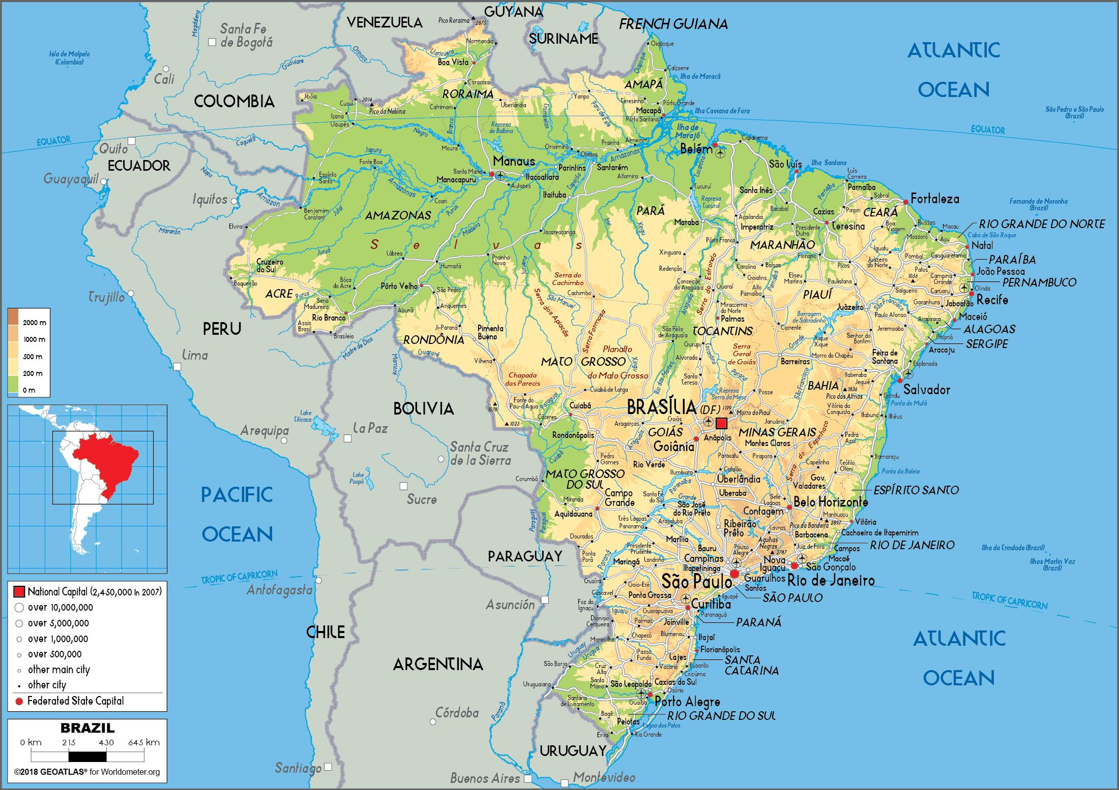
The Brazilian landscape is immense and complex, with interspersed rivers, wetlands, mountains, and plateaus adjoining other major features and traversing the boundaries of states and regions. It is most well known for its dense forests, including the Amazon, the world largest rainforest, in the north as its mentioned in Brazil geographic map. But there are also dry grasslands (called pampas), rugged hills, pine forests, sprawling wetlands, immense plateaus (areas of level high ground) and a long coastal plain.