search
Brazil map outline
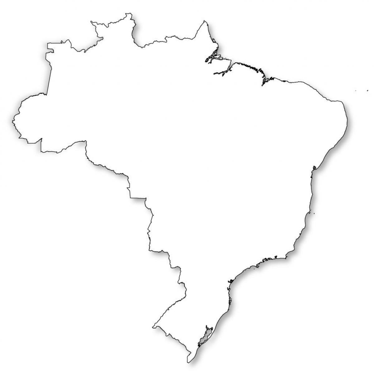
Map of Brazil outline. Brazil map outline (South America - Americas) to print. Brazil map outline (South America - Americas) to download. Bounded by the Atlantic Ocean on the east, Brazil has a coastline of 7,491 km (4,655 mi). Brazil occupies a large area along the eastern coast of South America and includes much of the continent interior, sharing land borders with Uruguay to the south; Argentina and Paraguay to the southwest; Bolivia and Peru to the west; Colombia to the northwest; and Venezuela, Suriname, Guyana and the French overseas department of French Guiana to the north as its shown in Brazil map outline.
Brazil total land boundary as its mentioned in Brazil map outline is 16,885 km (10,492 mi). Brazil border countries are as follow: Argentina 1,261 km (784 mi), Bolivia 3,423 km (2,127 mi), Colombia 1,644 km (1,022 mi), French Guiana 730 km (450 mi), Guyana 1,606 km (998 mi), Paraguay 1,365 km (848 mi), Peru 2,995 km (1,861 mi), Suriname 593 km (368 mi), Uruguay 1,068 km (664 mi), Venezuela 2,200 km (1,400 mi).
The outline map of Brazil shows tha the country shares a border with every country in South America except for Ecuador and Chile. Brazil also encompasses a number of oceanic archipelagos, such as Fernando de Noronha, Rocas Atoll, Saint Peter and Paul Rocks, and Trindade and Martim Vaz as you can see in Brazil map outline.


